When contacting me about a particular photo(s),
always refer to the Post Date, Photo Number and Description.
[Photo #1 is always at the top of the posting]
Remember to Left-Click any photo to open a larger view,
then hit the ESC (escape) button on your keyboard
to return to the BLOG
then hit the ESC (escape) button on your keyboard
to return to the BLOG
--------------------------------------------------------
Note that the majority of photos were shot within the
northern and central portions of New Jersey,
and the remaining ones in eastern Pennsylvania
As always, I hope you enjoy the view from above !!!
 |
| #1 - This first photo shows how a light covering of snow makes for a landscape that really stands out, as you will also see in the remainder of the photos |
 |
| #2 |
 |
| #3 |
 |
| #4 |
 |
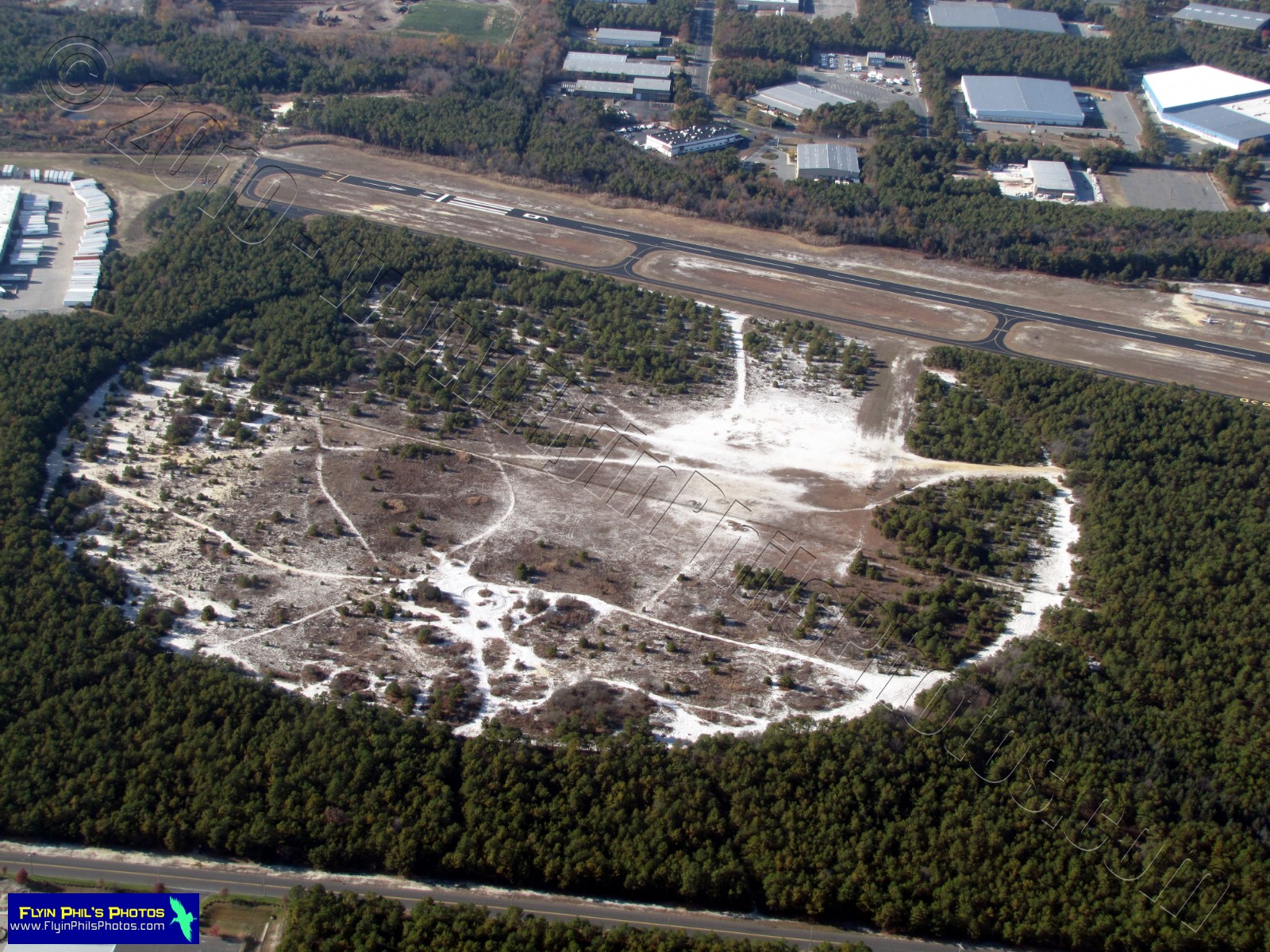
| #5 - Trenton-Robbinsville airport in Robbinsville, NJ |
 |
| #6 - Six Flags Great Adventure (looking east) in Jackson, NJ |
 |
| #7 - Housing development in Jackson, NJ |
 |
| #8 - The streets in this community near the Jersey Shore remain largely un-plowed, even three days after the Blizzard of 2010 |
 |
| #9 - A marina inundated with snow and locked in ice |
 |
| #10 - One of the many fine restaurants near the Jersey Shore looking so desolate with a lack of watercraft that populate the area in the warmer months |
 |
| #11 - Looking south along the Jersey Shore from atop Point Pleasant, NJ, |
 |
| #12 - An icy Barnegat Bay, albeit only a thin, broken layer exists over most of it |
--------------------------------------------------------
These next (2) photos were shot over
the Barnegat Bay near Mantaloking (looking east)
 |
| #13 |
 |
| #14 |
--------------------------------------------------------
 |
#15 - A vast housing development due south of Toms River with many streets plowed very poorly |
 |
| #16 - Housing development near Willingboro, NJ |
 |
| #17 - Willingboro's water tower, shot from an altitude of just over 2,000 feet |
 |
#18 - New Rodgers road / Reed street Bridge over the Delaware river in Bristol, PA / Burlington, NJ |
 |
| #19 - Maple Beach area of Bristol, PA, along the Delaware river |
 |
| #20 - A clock tower poised high atop a factory near Bristol, PA |
 |
| #21 - A Levittown, PA, housing development, with its perfectly aligned streets and equally spaced apart homes |
 |
#22 - An unusually shaped structure near Levittown, PA |
 |
| #23 - Lambertville, NJ, looking across the Delaware River at New Hope, PA |
 |
| #24 - Notice the reflection of the clouds on the still water of the Delaware River while looking towards New Hope, PA |
 |
| #25 - The Wesleyan Church's steeple in Stockton, NJ, is made of metal |
 |
| #26 - The Delaware river winding its way through Bucks county PA and Hunterdon county NJ |
 |
| #27 - A vast, lightly snow-covered Bucks county PA landscape |
 |
| #28 - Van Sant airport in Erwinna, PA, with its two grass runways |
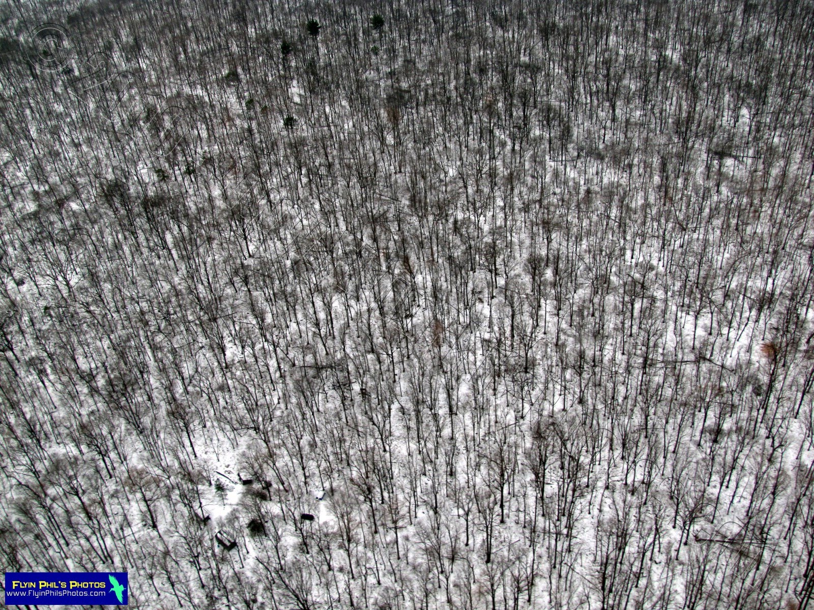 |
| #29 - Trees, Trees and more Trees, in Bucks County PA |
 |
| #30 - A country road winding through Bucks county PA |
 |
| #31 - A landscape that caught my eye as offering much to examine and wonder just what each snow-covered area of this field represents, in Bucks County PA |
--------------------------------------------------------
Well, I hope you've enjoyed this LAST Flight of 2010....and a long one at that, offering lovely, snow-covered views that I really wanted to share with everyone.
I wish each and everyone of you a Happy & Healthy New Year !!!
See you after the next flight in 2011...