
When contacting me about a particular photo(s),
always refer to the Post Date, Photo Number and Description.
[Photo #1 is always at the top of the posting]
Remember to Left-Click any photo to open a larger view,
then hit the ESC (escape) button on your keyboard
to return to the BLOG
then hit the ESC (escape) button on your keyboard
to return to the BLOG
--------------------------------------------------------
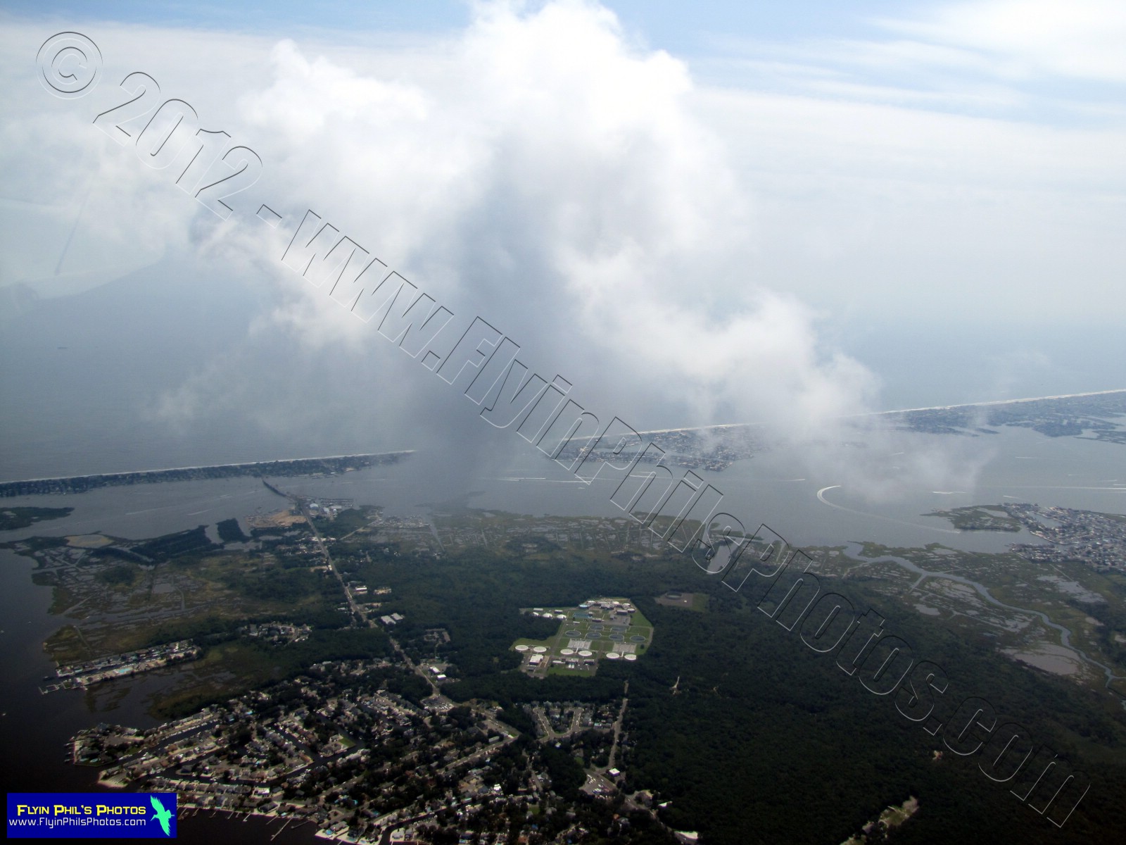
Today's flight was comprised of some "Cloud Hopping" over
the Sourland Mountain range in central New Jersey,
as well as traversing many other areas of the
Garden State with CAVU, also known as
CAVU (Ceiling And Visibility Unlimited).
As always, I hope you enjoy the view from above !!!
As always, I hope you enjoy the view from above !!!
-----------------------------------------------
 |
| #1 - Long, man-made ponds southeast of Pittstown |
-----------------------------------------------
These next (2) photos show the
Liberty Village and Premium Outlets
in Flemington
 |
| #2 |
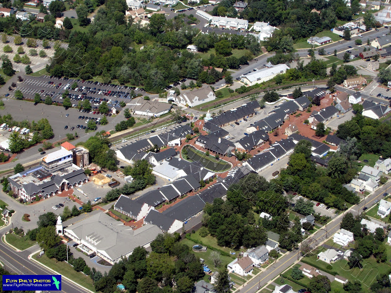 |
| #3 |
-----------------------------------------------
Some "Cloud Hopping" near Princeton and Rocky Hill.
This deck was about 3,000 feet,
with us flying between 3,500 and 4,000 feet.
 |
| #4 |
 |
| #5 |
 |
| #6 |
 |
| #7 - Princeton airport through the clouds |
 |
| #8 - Looking north at a sprawling industrial complex near Jamesburg (NJ Turnpike at right) |
-----------------------------------------------
 |
| #9 - Gambler Ridge Golf Club in Cream Ridge |
 |
| #10 - Cream Ridge Golf Club in Cream Ridge |
 |
| #11 - Central Mercer County Park in Princeton Junction |
-----------------------------------------------
These next (2) photos show the
Mercer Oaks Golf Course (East and West)
in Princeton Junction
 |
| #12 |
 |
| #13 |
-----------------------------------------------
These next (2) photos show the town
of Princeton and Springdale Golf Club
 |
| #14 |
 |
| #15 |
-----------------------------------------------
 |
| #16 - At cloud level (5,000 feet), again over the Sourland Mountain range |
 |
| #17 - A fancy home and horse stable in Hunterdon County |
 |
| #18 - A depleted Spruce Run Reservoir in norther Hunterdon County |
 |
| #19 - The Hagedorn Psychiatric Center, closed on June 30, 2012, in Glenn Gardner |
 |
| #20 - Large apartment complex on Airport road in Hackettstown (just west of the airport itself) |
 |
| #21 - Corn Maze at Donaldson Farms in Hackettstown |
 |
| #22 - Town home complex in Hackettstown |
 |
| #23 - Town home complex in Hackettstown |
 |
| #24 - Hilltop housing development near Hackettstown, just off of Route 46 |
 |
| #25 - Hilltop housing development near Hackettstown, just off of Route 46 |
 |
| #26 - Budd Lake, or MUD Lake, as it's known by the locals, in the town of Budd Lake |
-----------------------------------------------
These next (3) photos show the ongoing transformation
of the Netcong Traffic Circle into a modern,
traffic light-controlled modern intersection
 |
| #27 |
 |
| #28 |
 |
| #29 |
-----------------------------------------------
 |
| #30 - Lake Musconetcong in Netcong |
-----------------------------------------------
These next (2) photos show what's left of a
rock quarry in Landing, now being
filled and graded
 |
| #31 |
 |
| #32 |
-----------------------------------------------
 |
| #33 - The quaint little historic town of Clinton, located in northern Hunterdon County |
See you all after the next Flight...


