Search for "Flight Highlights" Aerial Photos HERE:

Showing posts with label clouds. Show all posts

Monday, December 15, 2014

From a Flight on Sunday, December 14, 2014...


When contacting me about a particular photo(s),
always refer to the Post Date, Photo Number and Description.

[Photo #1 is always at the top of the posting]

Remember to Left-Click any photo to open a larger view,
then hit the ESC (escape) button on your keyboard
to return to the BLOG

--------------------------------------------------------

After three weeks, the wind relaxed enough for us
to get airborne despite some rather ominous looking
cloud formations.  Regardless, the day turned out to be
a winner, with us flying throughout much of central
New Jersey with a detour into east-central Pennsylvania
and the Lehigh Valley / Allentown area.

As always, I hope you enjoy the view from above...

--------------------------------------------------------


#1 - Historic town of Clinton, NJ
#2 - I-78 (left) and Route 31 (right)
looking west towards Spruce Run
reservoir and Clinton, NJ

#3 - Christmas shoppers at the
Bridgewater Commons mall in
Somerville, NJ

#4 - Interchange of Route 22 / 206
adjacent to Bridgewater mall

#5 - Christmas shoppers at the
Bridgewater Commons mall in
Somerville, NJ

#6 - New structure with colorful
green wrapping within the
Bridgewater mall parking lot

#7 - New interchange of Route 22
and I-287 near Bound Brook, NJ

#8 - A peak of sunlight highlighting the
Hillsborough Golf and Country Club
in Hillsborough, NJ

#9 - Route 22 (left) and I-78 (right)
are very near one another in
Lebanon, NJ (looking west)

#10 - A private residence with many
windows facing east

#11 - Christmas tree farm near
Washington, NJ

#12 - Crop circles (???) near
Washington, NJ

#13 - Crop circles (???) near
Washington, NJ

#14 - A large tree nursery near
Asbury, NJ

#15 - Bear Creek Mountain Ski Resort
in Berks County, PA

#16 - Bear Creek Mountain Ski Resort
in Berks County, PA

#17 - Cascading waterfall at
Lake Nockamixon State Park

in Ottsville, PA

#18 - The skies were trying to clear
from the east but never quite did

#19 - A few sun rays peeking through

#20 - The very thin layer of clouds
gave us rare glimpses of a deep,
blue sky that teased us
throughout the day

#21 - Sun rays beaming down over
Hunterdon County, NJ

#22 - Sun rays beaming down over
Hunterdon County, NJ

---------------------------------------------

See you after the next flight,
and I wish you a
Merry Christmas and a
Happy and Healthy New Year !!!


Tuesday, November 6, 2012

From a Flight on Sunday, September, 9, 2012...


When contacting me about a particular photo(s),
always refer to the Post Date, Photo Number and Description.

[Photo #1 is always at the top of the posting]

Remember to Left-Click any photo to open a larger view,
then hit the ESC (escape) button on your keyboard
to return to the BLOG

--------------------------------------------------------

This days flight was absolutely gorgeous featuring relatively low,
puffy clouds that we flew around, with bases around 4,000 feet 
and excellent visibility.  Let's begin our flight...

---------------------------------------------------

#1 - Merrill Creek Reservoir in Washington, NJ

#2 - Merrill Creek Reservoir in Washington, NJ

--------------------------------------------------- 
These next (16) photos of clouds are
located between Phillipsburg, NJ
and Delaware Water Gap, PA 

#3

#4

#5

#6

#7

#8

#9

#10

#11

#12

#13

#14

#15

#16

#17

#18

--------------------------------------------------- 

#19 - Private airstrip southwest
of Blairstown, NJ

#20 - Delaware Water Gap and
Interstate
80 (looking east)

#21 - Farm fields, looking east towards
Martins Creek Power Plant

#22 - Klein Farms and Dairy in Easton, PA

#23 - Easton (Braden) airport in Easton, PA

#24 - Easton (Braden) airport in Easton, PA

#25 - Lots of grass to mow, near Milford, NJ

---------------------------------------------------

See you after the next flight...

Wednesday, August 29, 2012

From a Flight on Sunday, August 26, 2012...


When contacting me about a particular photo(s),
always refer to the Post Date, Photo Number and Description.

[Photo #1 is always at the top of the posting]

Remember to Left-Click any photo to open a larger view,
then hit the ESC (escape) button on your keyboard
to return to the BLOG

--------------------------------------------------------

Today's flight was comprised of some "Cloud Hopping" over
the Sourland Mountain range in central New Jersey,
as well as traversing many other areas of the
Garden State with CAVU, also known as
CAVU (Ceiling And Visibility Unlimited).

As always, I hope you enjoy the view from above !!!

-----------------------------------------------

#1 - Long, man-made ponds southeast
of Pittstown

-----------------------------------------------
These next (2) photos show the
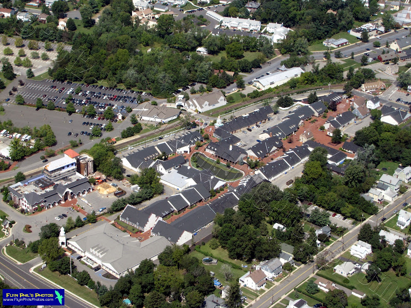
Liberty Village and Premium Outlets
in Flemington

#2

#3

-----------------------------------------------
Some "Cloud Hopping" near Princeton and Rocky Hill.
This deck was about 3,000 feet,
with us flying between 3,500 and 4,000 feet.


#4

#5

#6

#7 - Princeton airport through the clouds

#8 - Looking north at a sprawling
industrial complex near Jamesburg
(NJ Turnpike at right)

-----------------------------------------------

#9 - Gambler Ridge Golf Club in Cream Ridge

#10 - Cream Ridge Golf Club in Cream Ridge

#11 - Central Mercer County Park in Princeton Junction

-----------------------------------------------
These next (2) photos show the
Mercer Oaks Golf Course (East and West)
in Princeton Junction

#12

#13

-----------------------------------------------
These next (2) photos show the town
of Princeton and Springdale Golf Club

#14

#15

-----------------------------------------------

#16 - At cloud level (5,000 feet), again
over the Sourland Mountain range

#17 - A fancy home and horse stable
in Hunterdon County

#18 - A depleted Spruce Run Reservoir
in norther Hunterdon County

#19 - The Hagedorn Psychiatric Center,
closed on June 30, 2012, in Glenn Gardner

#20 - Large apartment complex on
Airport road in Hackettstown
(just west of the airport itself)

#21 - Corn Maze at Donaldson Farms
in Hackettstown

#22 - Town home complex in Hackettstown

#23 - Town home complex in Hackettstown

#24 - Hilltop housing development near
Hackettstown, just off of Route 46

#25 - Hilltop housing development near
Hackettstown, just off of Route 46

#26 - Budd Lake, or MUD Lake,
as it's known by the locals,
in the town of Budd Lake

-----------------------------------------------
These next (3) photos show the ongoing transformation
of the Netcong Traffic Circle into a modern,
traffic light-controlled modern intersection

#27

#28

#29
-----------------------------------------------

#30 - Lake Musconetcong in Netcong

-----------------------------------------------
These next (2) photos show what's left of a
rock quarry in Landing, now being
filled and graded

#31

#32

-----------------------------------------------

#33 - The quaint little historic town
of Clinton, located in northern
Hunterdon County

See you all after the next Flight...