Search for "Flight Highlights" Aerial Photos HERE:

Showing posts with label pier. Show all posts

Monday, June 18, 2018

From a Flight on Sunday, June 17, 2018...


When contacting me about a particular photo(s),
always refer to the Post Date, Photo Number and Description.

[Photo #1 is always at the top of the posting]

Remember to Left-Click any photo to open a larger view,
then hit the ESC (escape) button on your keyboard
to return to the BLOG

As always, I hope you enjoy the view from above !!!

--------------------------------------------------------

#1 - Looking east at the Raritan River
crossings (Garden State Parkway and
Route 9) with the Raritan Bay
in the distance  


#2 - Early stages of a building along
Route 1 in New Brunswick


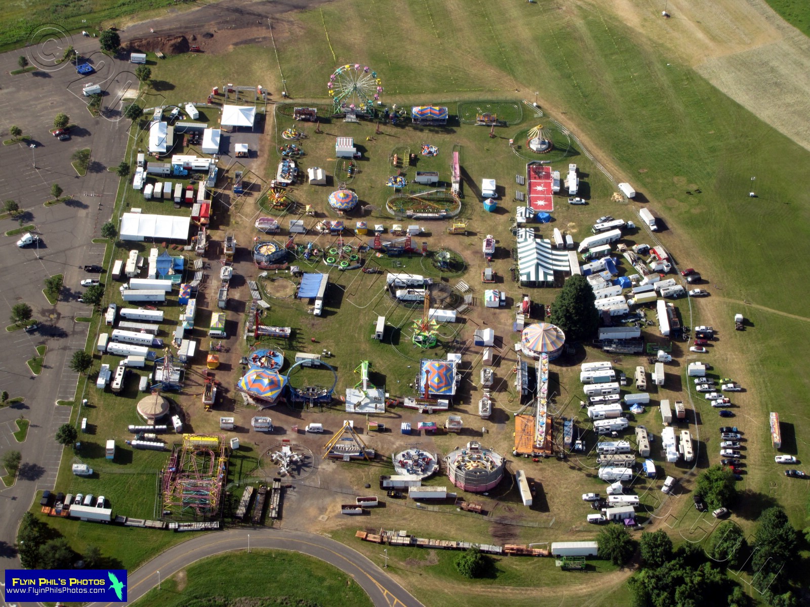
#3 - Massive carnival at David B. Crabiel Park
along Route 1 in Milltown


#4 - Massive carnival at David B. Crabiel Park
along Route 1 in Milltown


#5 - Route 130 / Route 1 interchange
in North Brunswick


#6 - The Joker roller coaster at
Six Flags Great Adventure in Jackson


#7 - Military helicopters in Lakehurst,
part of the Joint Base
McGuire-Dix-Lakehurst
 

#8 - The famous Hangar 1 in Lakehurst,
part of the Joint Base
McGuire-Dix-Lakehurst
 

#9 - Crystal Lake in Manchester Township,
looking east towards Route 37
and the town of Toms River


#10 - Artistic swirls at the
Sahara Sands of Eagleswood
in West Creek, along the
Garden State Parkway


#11 - Long Beach Island, looking north


#12 - Route 72 bridge, the only access
point to Long Beach Island,
looking west
 

#13 - Barnegat Inlet and Lighthouse,
looking south along Long Beach Island


#14 - Barnegat Lighthouse


#15 - Barnegat Lighthouse


#16 - Looking north at
Island Beach State Park


#17 - Barnegat Inlet and Lighthouse,
looking south


#18 - Route 37 bridges, the main
access point to Seaside Heights
along the Jersey Shore


#19 - New pier/amusement platform
construction at Seaside Heights


#20 - New pier/amusement platform
recently completed at Seaside Heights


#21 - After Hurricane Sandy, the
Casino Pier is complete and is the
main location in Seaside Heights
for thrill and family rides


#22 - After Hurricane Sandy, the
Casino Pier is complete and is the
main location in Seaside Heights
for thrill and family rides


#23 - The strip in Seaside Heights,
looking south at Casino Pier,
the Boardwalk and the new piers
to replace the fire-destroyed
Fun Town Pier
 

#24 - After Hurricane Sandy, the
Casino Pier is complete and is the
main location in Seaside Heights
for thrill and family ride.  Notice how
little the rebuilt pier juts into the ocean
as compared to the previous pier
 

#25 - Breakwater Beach in
Seaside Heights, adjacent to
the Casino Pier


#26 - Ocean County College
in Toms River


#27 - Ocean County College
in Toms River


#28 - A massive new housing complex
in Lakewood


#29 - Jackson Liberty High School
in Jackson


#30 - Storage yard full of colorful
vehicles along I-195 in Jackson


#31 - Six Flags Great Adventure
amusement park in Jackson,
looking southwest at
McGuire AFB in the distance


#32 - Six Flags Great Adventure
amusement park in Jackson,
looking southwest


#33 - Six Flags Great Adventure
amusement park in Jackson,
looking at the mega-coaster, Nitro


#34 - Candlelight Farms Alpacas
in Ringoes


#35 - Candlelight Farms Alpacas
in Ringoes

--------------------------------------------------------

See you after the next flight...

Tuesday, July 9, 2013

From a Flight on Sunday, July 7, 2013...


When contacting me about a particular photo(s),
always refer to the Post Date, Photo Number and Description.

[Photo #1 is always at the top of the posting]

Remember to Left-Click any photo to open a larger view,
then hit the ESC (escape) button on your keyboard
to return to the BLOG

--------------------------------------------------------
 
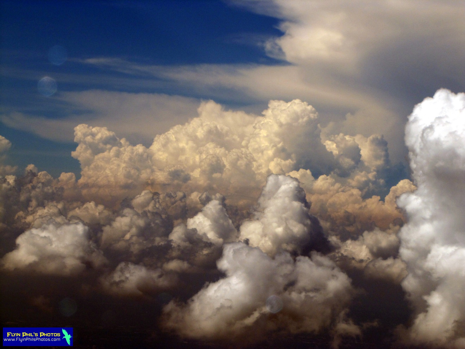
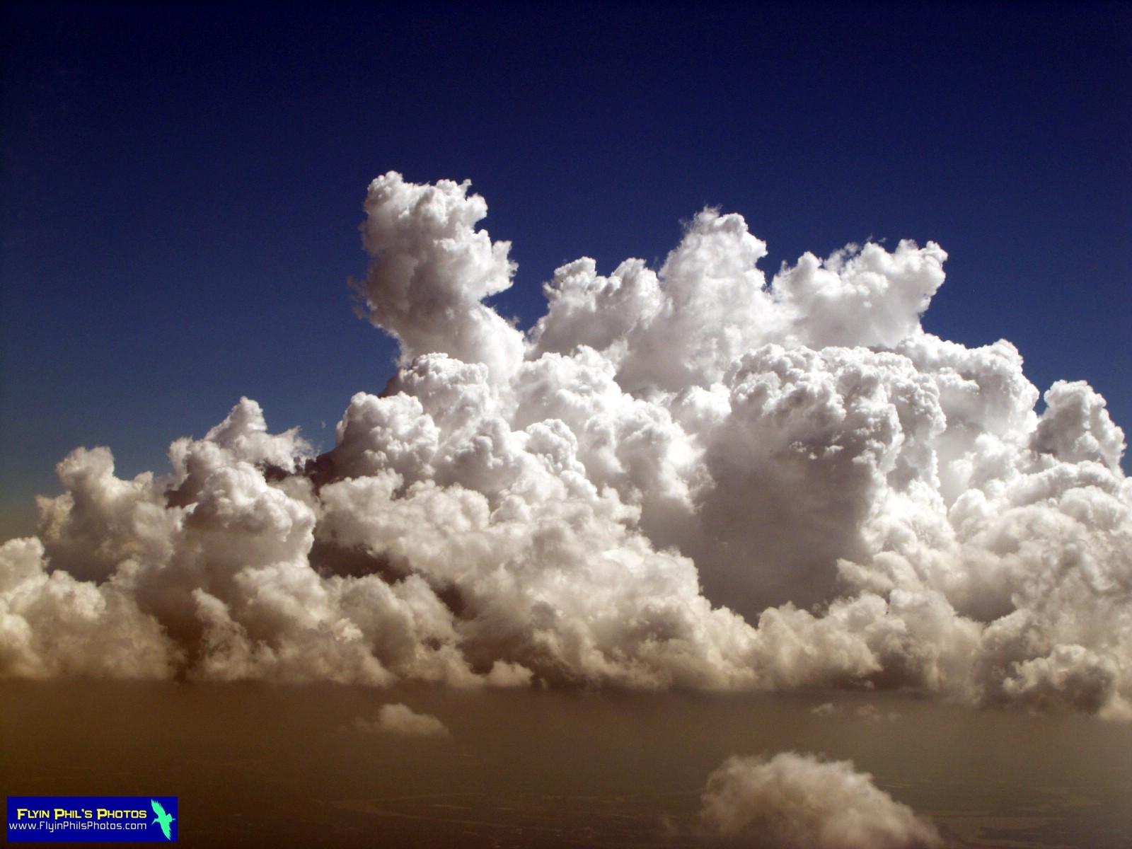
Welcome to a Cloud Fest of aerial imagery.  Sunday was THE perfect day for flying amongst the moisture puffs over northern and central New Jersey.  Bases were at around 4,000 feet with tops no higher than 7,000, well within reach of our Cessna 172 Skyhawk.  We were treated to a plethora of visual delights with some fascinating cloud formations.  These and more, a total of 80 photos in all,
from the Jersey Shore and around the Garden State.

As always, I hope you enjoy the view from above...

--------------------------------------------------------

#1 - Lonely puff over northern NJ


#2 - An ominous early morning cloud
lingers over the Appalachian ridge,

south of the Delaware Water Gap


#3 - Pretty, cloud-filled skies abound


#4 - Double cloud shadows near
the Delaware Water Gap


#5


#6 - Endless clouds to weave
our way through

--------------------------------------------------------

#7 - Trinca airport in Andover


#8 -Netcong and Lake Musconetcong


#9 - Construction is nearly complete of
the Netcong Circle's transformation

into yes, another massive
traffic light-controlled intersection


#10 - Lake Hopatcong


#11 - Morristown airport in the distance


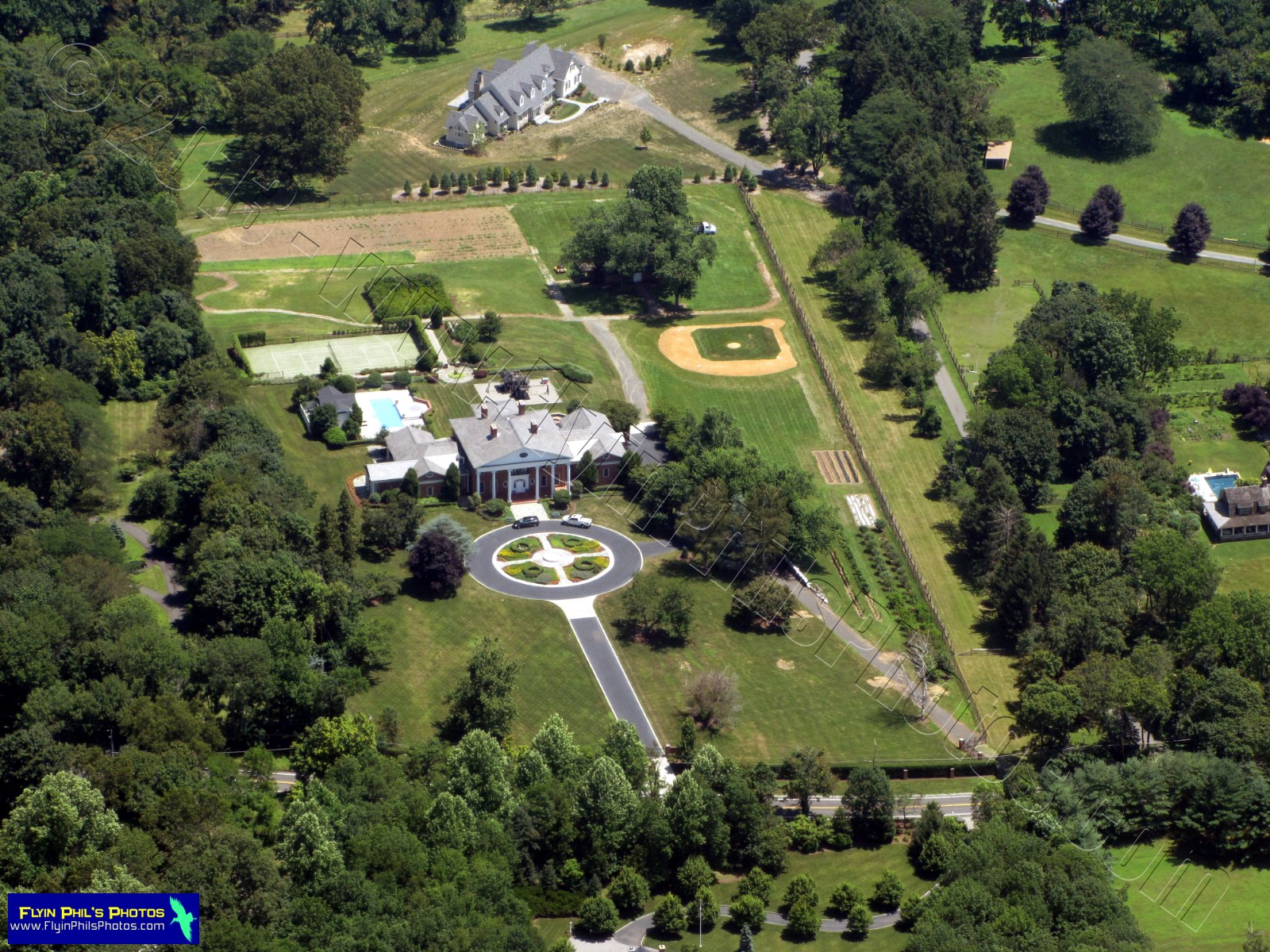
#12 - Private estate near Basking Ridge


#13 - Another estate, nicely landscaped
at that, also near Basking Ridge


#14 - New construction in Somerset


#15 - Rutgers stadium in Piscataway


#16 - A solar panel-covered parking
lot/deck in New Brunswick


#17 - New Brunswick and
Route 18, looking northwest


#18 - New Brunswick


#19 - New Brunswick


#20 - Passenger rail line viaduct over
the Raritan river in New Brunswick


#21 - New Jersey Turnpike (exit 9)
and Route 18 interchange
in East Brunswick


#22 - Raritan river as it winds its' way eastward


#23 - Muffin pans....I mean waste water
treatment facility, in Sayreville


#24 - Driscoll bridge (Garden State Parkway; left)
and Edison bridge (Route 9),

in South Amboy


#25 - Driscoll and Edison bridges


#26 - Earle Naval Weapons Station pier
near the Atlantic Highlands

with three ships present


#27 - Here are two of the ships
at Earle in more detail


#28 - The now defunct Sandy Hook
Proving Grounds; aka Fort Hancock


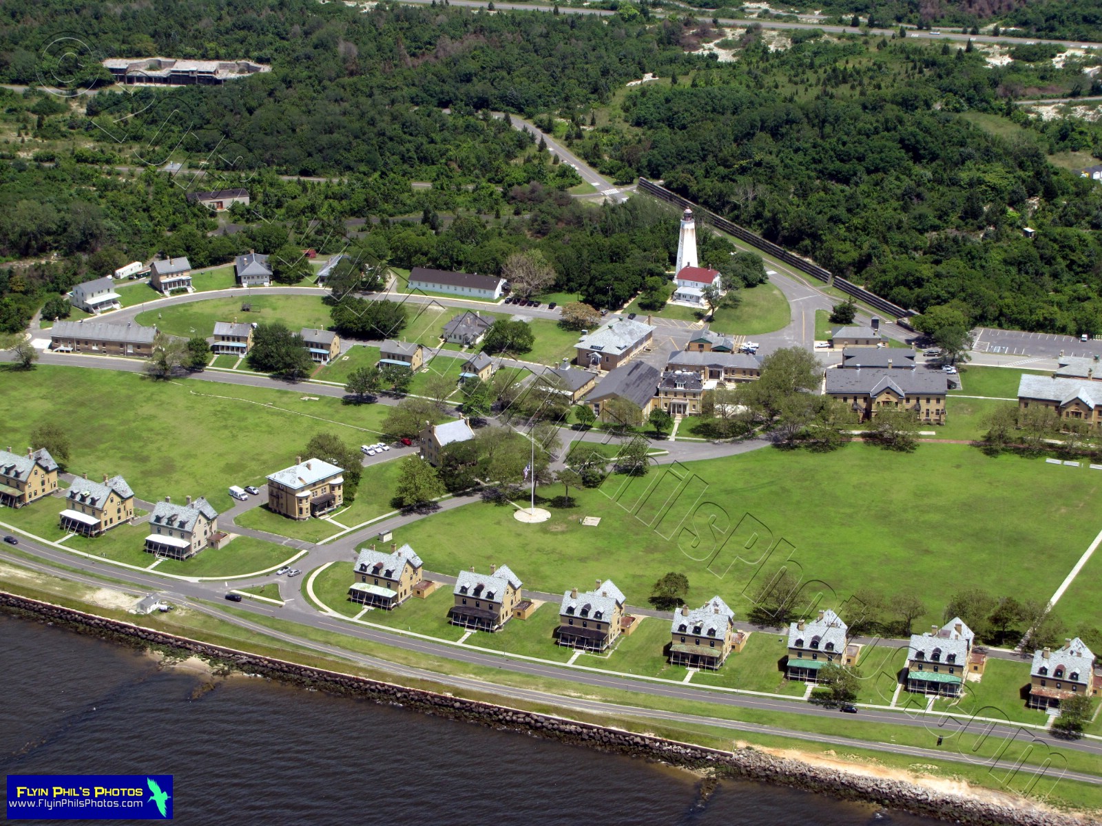
#29 - Fort Hancock and the
Sandy Hook lighthouse


#30 - Sandy Hook lighthouse


#31 - Sandy Hook Coast Guard station


#32 - One of the many areas of
Sandy Hook off-limits
to the public (center)


#33 - A packed parking lot/beach on
Sandy Hook, this one near

the Seagull's Nest restaurant


#34 - An impressive condo/hotel/beach/boardwalk
complex along the Jersey Shore,

this one near Sea Bright


#35 - Colorful beach goers near Sea Bright


#36 - Beachfront dwellings with
terracotta-tiled roofs near Sea Bright


#37 - Ah, the Jersey Shore, looking south
at Long Branch and Asbury Park


#38 - The NEW Asbury Park
boardwalk/beach area


#39 - We spotted some kind of
dredging vessel that looked interesting


#40 - Looking south at Point Pleasant
and the warm and friendly shoreline


#41 - Jenkinson's in Point Pleasant


#42 - Jenkinson's was uber-packed,
most likely due to Seaside not
being completely up and running
after Hurricane Sandy


#43 - Casino Pier (north end) in
Seaside Heights, still under re-construction


#44 - It looks as though a temporary pier
for the crane has been fabricated to

aid in the re-construction of Casino Pier


#45 - Seaside Heights beach between
Casino and Funtown Piers


#46 - Funtown Pier (south end)


#47 - Notice no new construction on
Funtown Pier has commenced,

though it is not scheduled
to re-open until 2014


#48 - Seaside Heights, Pelican Island
and the 
Route 37 / Barnegat Bay
bridge in the distance


#49 - Route 37 / Barnegat Bay bridge


#50 - The distinctive line between
Seaside Heights/Park and

Island Beach State Park


#51 - Island Beach State Park
extending to the south


#52 - Already, at only 2PM, the
Garden State Parkway

northbound is bumper-to-bumper
as far as one can see to
both the north and south


#53 - Lakehurst Naval Air Engineering
Station (looking southwest)


#54 - An enormous sand and gravel
excavation area near Lakehurst


#55 - What looks like rope lighting is
really a senior housing complex
in Jackson, 
with a golf course winding
its way throughout

--------------------------------------------------------
These next (23) photos are only of Cloud formations
that we witnessed on our return flight home. 
Only the more prominent ones I have commented on.

#56


#57


#58


#59


#60


#61 - It's neat how some clouds
jut out from the others


#62


#63


#64


#65


#66


#67


#68 - These formations are near Princeton,
and you can see Lake Carnegie

and the Delaware-Raritan canal


#69


#70 - This formation was creepy...
It was like a giant 'fog' or' ghost cloud'

amongst its rather normal looking
and friendly cloud neighbors


#71 - Looking out past our 180 HP Lycoming engine,
pulling us through the sky at 130 mph


#72


#73


#74


#75


#76


#77


#78

--------------------------------------------------------
These last (2) photos show the town of
Clinton, in Hunterdon county

#79
#80

--------------------------------------------------------

See you after the next flight....